Business areas

Trabajos de campo e instrumentación

Field work and instrumentation


AQUATICA INGENIERÍA carries out field work, measurements and instrumentation, namely in the following areas:

  • Digital terrain models. Topography and bathymetry.
  • Use of drones for photogrammetry.
  • Gauging on river sections.
  • Current measurement.
  • Measurement of wave spectra.
  • Indirect geotechnical methods.

Some of our field work and instrumentation projects

Project 1

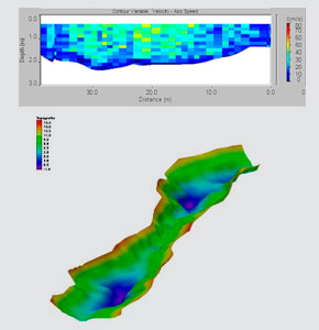
Topography and bathymetry work

AQUÁTICA INGENERIA has undertaken topo/bathymetry work to obtain necessary land models for its work at locations such as Morocco, Cape Verde, Panama or Mexico.
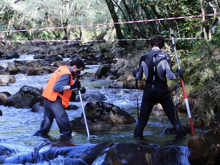
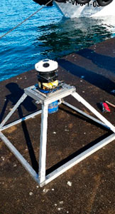
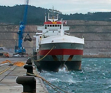
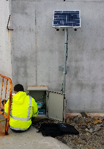
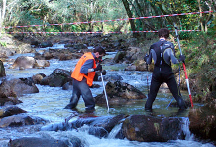
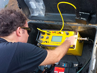
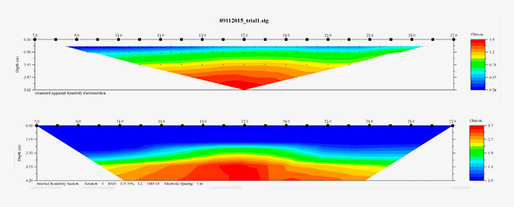
Trabajos de topografía y batimetría

Project 2

SMARTPORT: Langosteira dock instrumentation

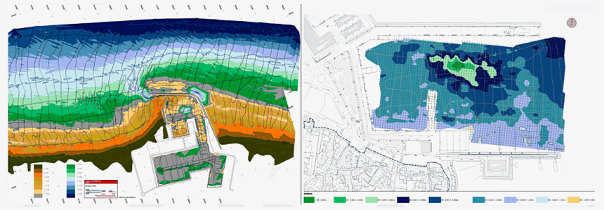
AQUÁTICA INGENERIA has carried out for the EMTEAL-ALTIA joint venture, within the SMARTPORT works, the development of a system for forecasting the level of agitation of the port. In the framework of a field campaign, a numerical model was calibrated and validated.

SMARTPORT: Instrumentación dársena Langosteira

Project 3

Cabo de Cruz screen instrumentation

During the years 2011 and 2012 AQUATICA ENGINEERING carried out the Floating Screen project against wind waves in the port of Cabo de Cruz and, after installation, the instrumentation campaign was carried out.

Instrumentación pantalla Cabo de Cruz

Project 4

Ecological flows - Galicia Costa

During the period 2010 - 2012, AQUATICA INGENIERIA conducted for Augas de Galicia the Analysis of Ecological Flows of the surface water for rivers of the Galicia Costa Hydrographic Area.

Caudales ecológicos - Galicia Costa

Project 5

Indirect Geotechnical Methods

AQUATICA conducts geotechnical campaigns by use of electrical tomographs to analyze the nature of the soils in port and coastal engineering projects.

Métodos geotécnicos indirectos

Configuración de cookies

Este sitio web utiliza cookies para mejorar la experiencia mientras se navega por el sitio web. Las cookies que se clasifican como necesarias se almacenan en el navegador ya que son esenciales para el funcionamiento básico del sitio web. También utilizamos cookies de terceros que nos ayudan a analizar y comprender cómo utilizas este sitio web; estas cookies se almacenarán en tu navegador sólo con tu consentimiento. También tienes la opción de no permitir estas cookies, sin embargo, la exclusión de algunas de estas cookies puede afectar a tu experiencia de navegación.

Instrucciones sobre cómo eliminar las cookies y más información en nuestra política de cookies.